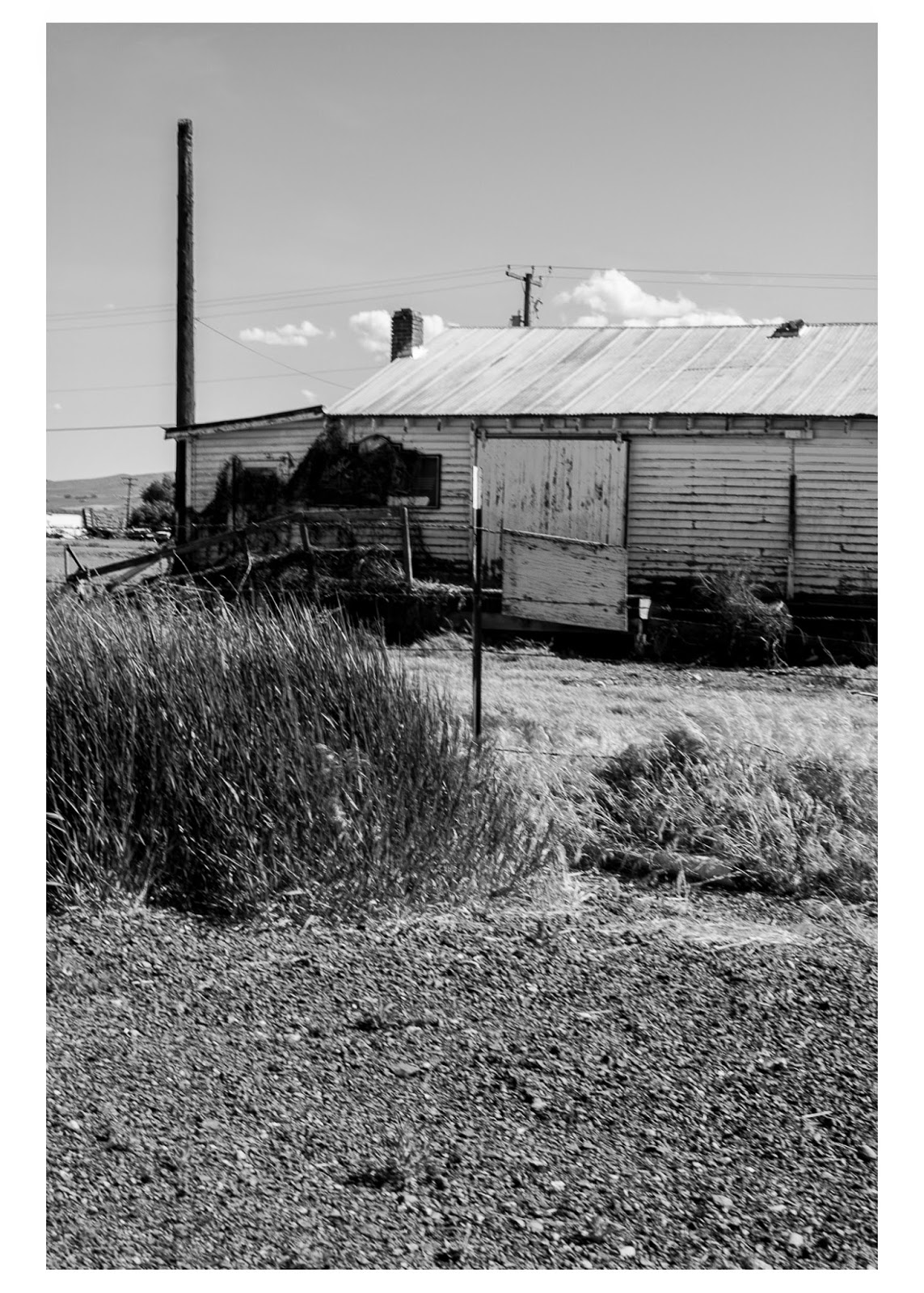
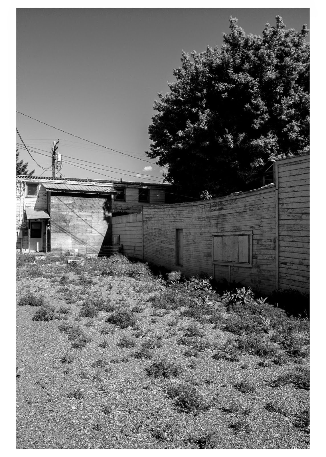
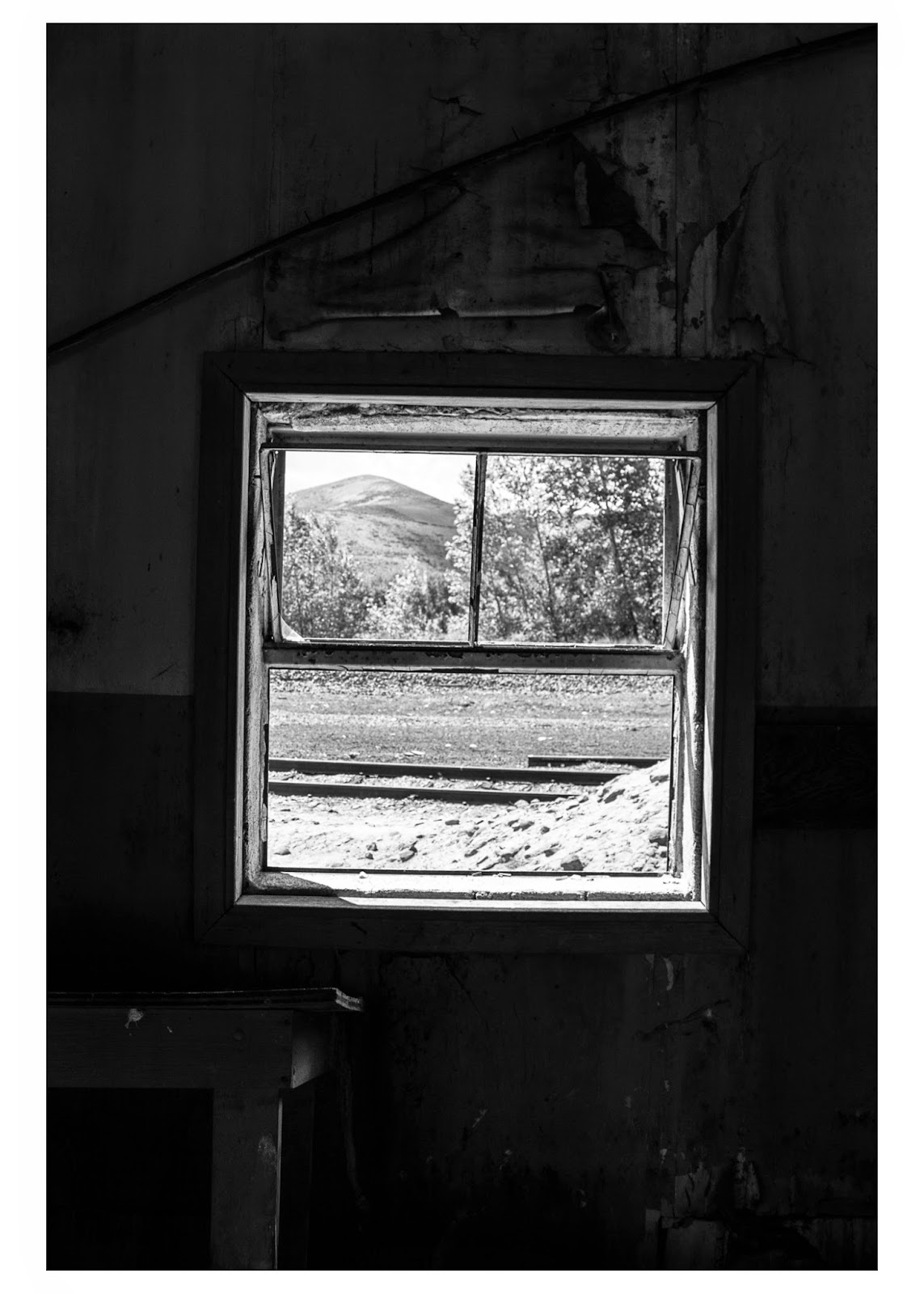
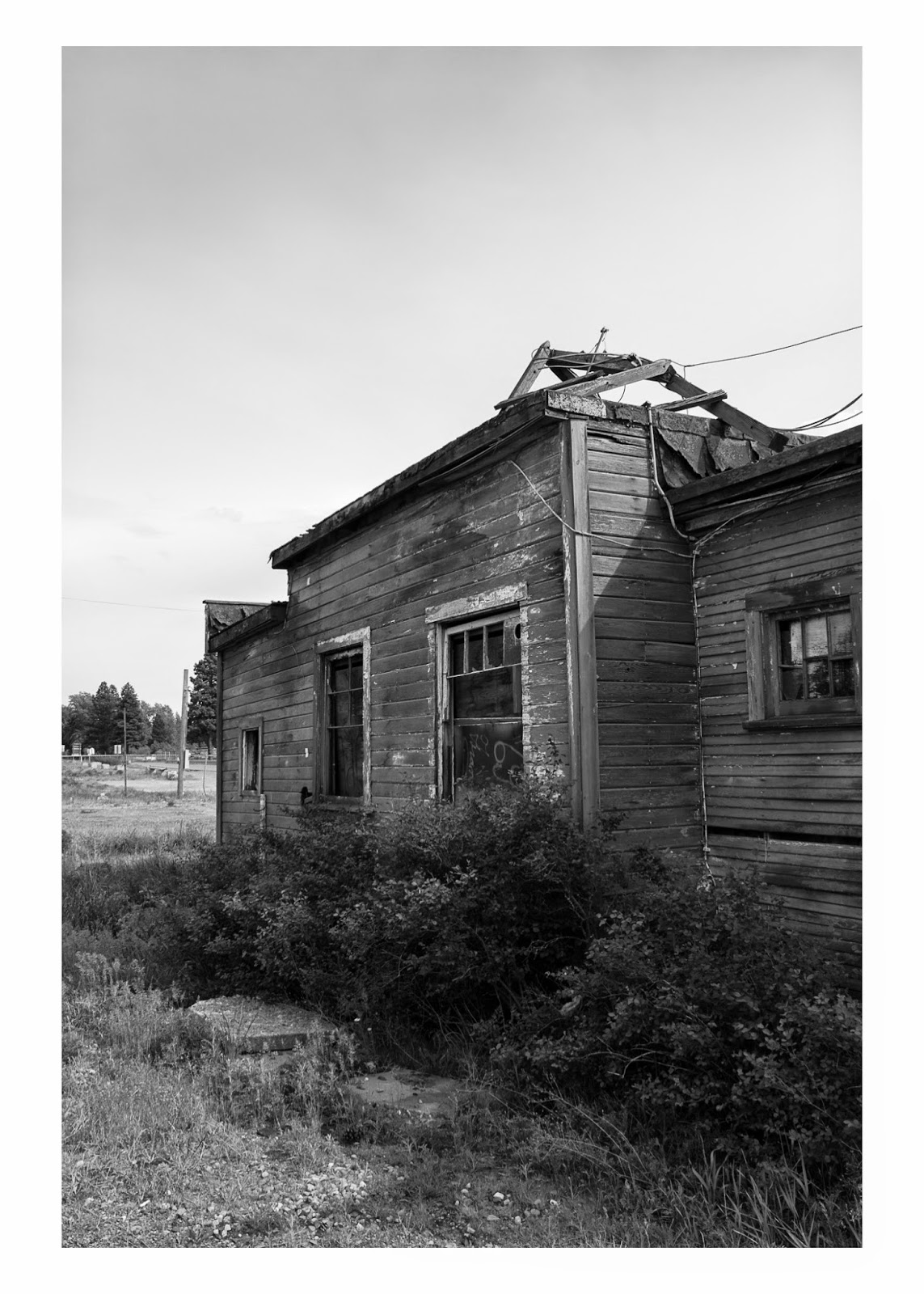
Today, I decided to spend some time photographing just a bit more for Tuesday's critique. I rephotographed the large white house to better incorporate the foreground and sky. I ended up driving to Kittitas and the Olmstead State Park for additional locations.
I feel that today's critique was really helpful. I think the most successful part was just narrowing down some of the photographs, it gave me a better idea of which ones were working and which ones weren't. I have been spending a bit of time looking up and figuring out the gps coordinates for the titles of the photos and it is surprisingly easier then I initially thought it would be. While doing that I have been considering at least one or two more locations for the final few photographs needed for next week's critique.
I decided to adventure around Ellensburg to some locations I thought could work well for my project. I have number these the same as the post from before, just for reference. Let me know which images you think are working. Thanks!
After adventuring more in Roslyn, Cle Elum and the Coal Miner's trail I
have gathered a bunch more photographs that could work well with my
project. I have decided to photograph everything vertically, to give
myself more of a visual challenge when composing images. I found it really interesting that with some of these buildings you could capture the building from different side and it would almost entirely look like an other building. I have the pictures below numbered for better referencing. Any pictures chosen for the final will be retitled with their coordinates. I think that it would be really cool if people ended up traveling to the locations and making a documentation of the decay over the years, heck I might even just do it myself! Let me know which ones you like.